Software Reference List
Their well-proven software product suite have been supplied to major survey companies operating within the offshore survey industry, Hydrographic surveying, educational institutes and naval material administrations.
Fem Associates are a fully licensed owner and operator of the Navipac software suite. Our Surveyors and Engineers have undergone comprehensive training in its use “HydroPro” navigation software.
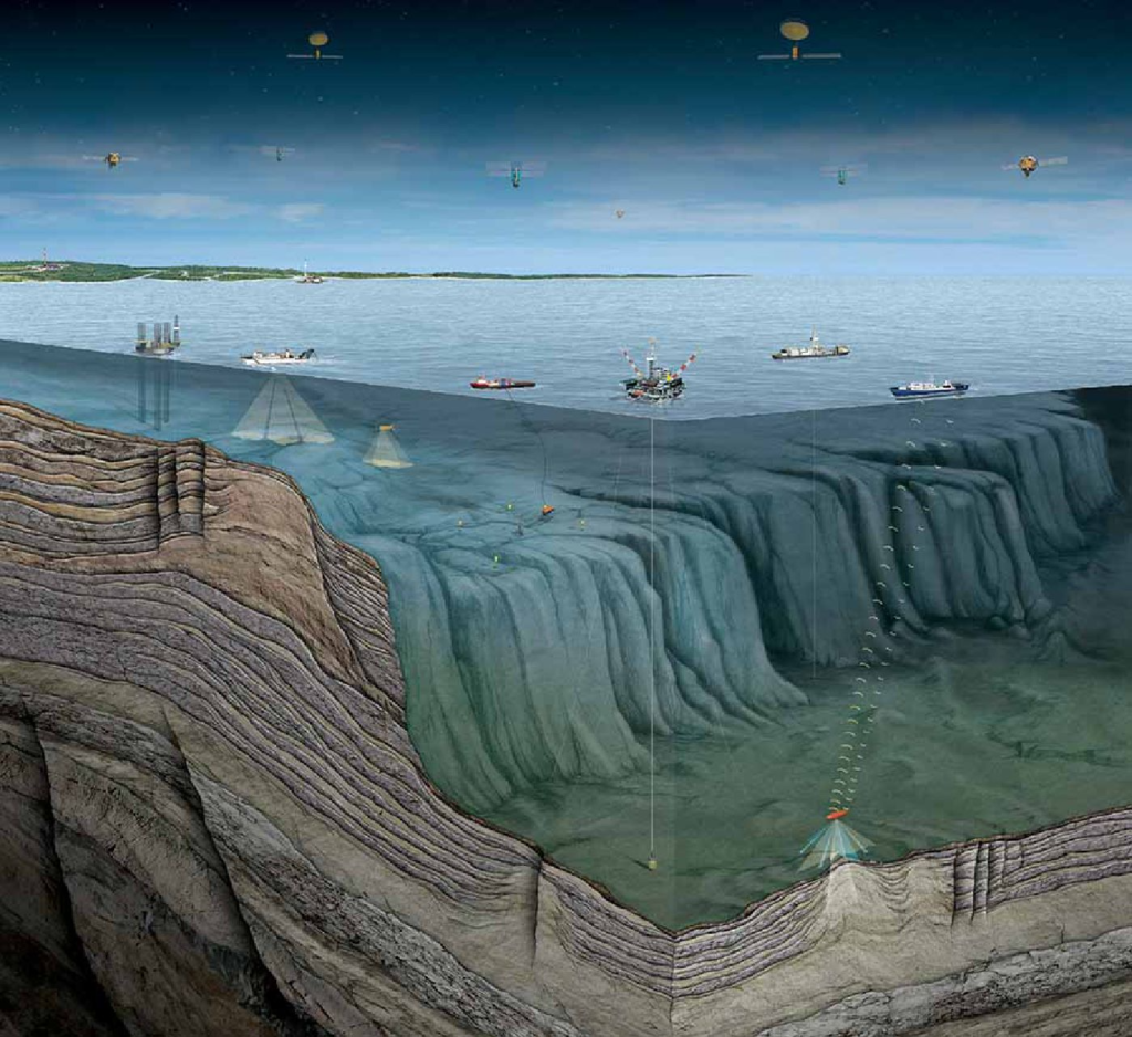
“HydroPro” Software Application The HydroPro software is anintegrated navigation and data acquisition software specifically suited for applications like:
General Navigation
Hydrographic & Oceanographic Surveying Geophysical & Seismic Surveying
Port & Harbour Surveys
Pipeline Lay-Barge Management and Control Barge/Tug Management
Rig Move Management & Control
Pipeline Pre- and Post-Surveys
Cable Installation & Support
Civil/Offshore Engineering Work
Underwater Operations
ROV Surveys
Time Synchronization
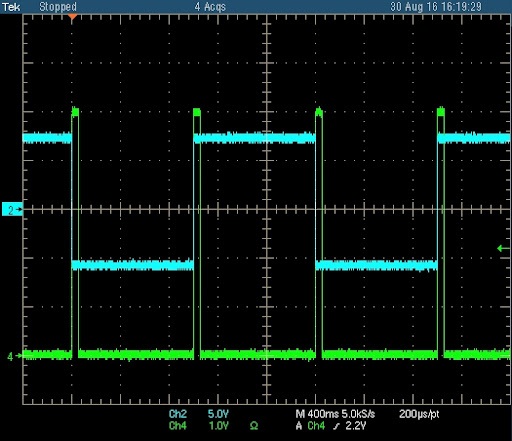
Time stamping of sensor data, incoming as well as outgoing, can be done in two ways, either by the internal computer clock or by the PPS output available from most GPS receivers. Using the PPS output data are synchronized relative to the GPS/UTC time frame, resulting in an accuracy of a few milliseconds
Device I/O Drivers
A vast number of field-tested device I/O drivers are provided for most available positioning systems, GPS/DGPS receivers, gyros, motion/attitude sensors, tide-gauges, single beam echo sounders, magnetometers, dynamic positioning systems, autopilots, etc. Generic I/O drivers allow definition or customization of own device I/O drivers. Data is interfaced via RS232, a LAN or via a digital I/O interface. Device I/O drivers for multibeam echo sounders, multibeam side scan backscattering, pipe- trackers, scanning and profiling sonar’s, etc. are provided in the NaviScan software.
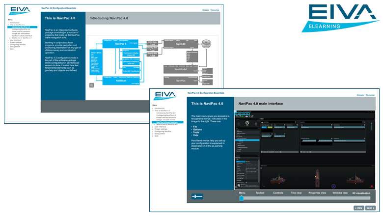
Navigation Set-up
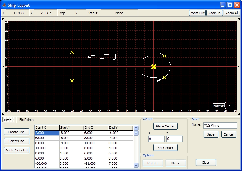
The NaviPac set-up module provides easy selection of geodetic parameters, navigation systems, devices, offsets and port settings.
Modularity
HydroPro provides complete modularity through use of the multi tasking, multi threading and networking capabilities of the Windows NT, Windows 2000 and Windows XP operating system. The software is highly flexible and user configurable, and the user interface adhere to The Microsoft Interface Guidelines making it very intuitive and easy to operate.
Helmsman
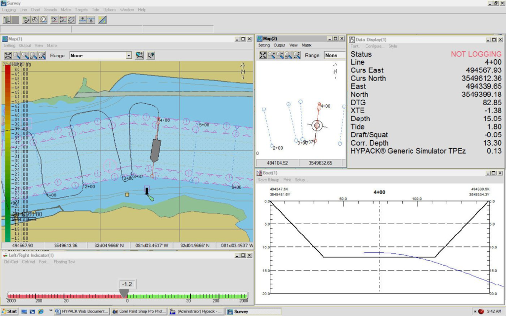
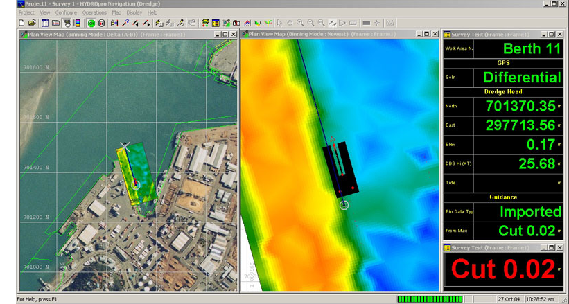
Display provides off-track and along-track information, planned and actual fix locations, in a fully configurable graphic format
Electronic Charts
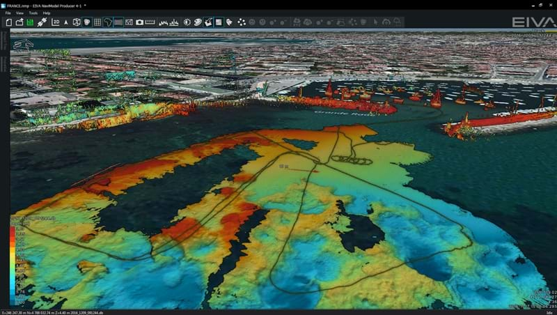
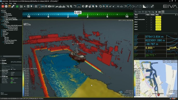
Vessel positions, survey lines (on DXF, DWG and ASCII formats) and objects may be displayed superimposed on C-Map or S57 based electronic chart displays. Coverage of depth information from singlebeam and/or multibeam echosounder as well as DTM’s generated on-the-fly can be presented on the Navigation Display through interface with the NaviScan software.
Data Handling
HydroPro provides a systemised way of managing and storing survey data. Records are saved to a project directory allowing you to set up new surveys or to quickly switch to an existing survey. During data logging records can be limited in time or file size defined by the user
Client/server System
HydroPro builds on a client/server solution, which allows execution of all software modules (including a/o Helmsman display, LogData and DataMonitor) on any Personal Computer on the network.
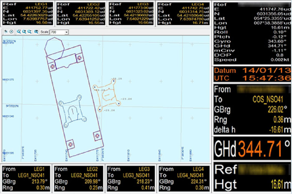
Windows Displays
Full system flexibility allows you to design and configure your survey and preferred display settings and layout to best fit your needs. You can open as many displays as you want to, one of each type or several of the same type, and freely distribute these to monitors working as slaves or to intelligent workstations for individual windows set-up and interactive use
Optional Modules
Optional software modules are available for NaviPac comprising a/o:
Sonardyne LBL positioning
Barge/tug management system
Cable and flexible pipe lay
Survey Planning
HydroPro allows for survey planning through quickly creation of survey area and survey lines. A variety of methods for creation of survey lines are provided, e.g. by click-and-drag (of mouse/trackball), input of survey line co-ordinates, offset (parallel) survey lines, cross lines, circles, arcs etc. Survey lines can easily be adapted to fit a defined survey area. Creation of templates allows input of other data formats.
Navigation Display
The Navigation Display graphically presents the real-time absoluteand relative positions of selected survey objects and cartographic features
